
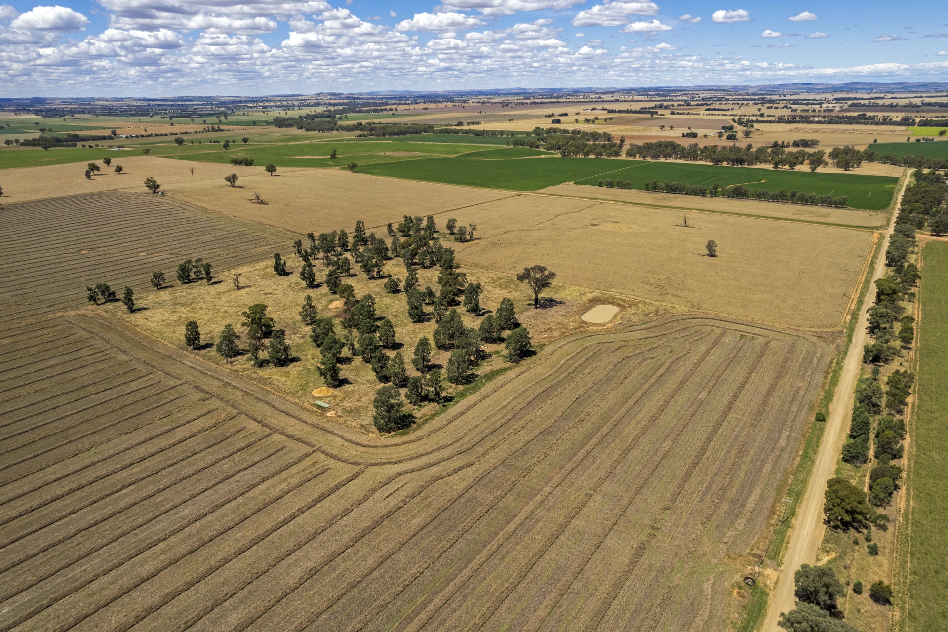
Start with a useful paddock record
Give each paddock a clear name and boundary, and record the crop, season and purpose of the visit. A field inspection, a monitoring flight and a treatment task should remain easy to distinguish when the team reviews them later.
SkyStream mission planning and records can provide the operational reference for that work. Agree how the paddock is identified across the flight record and farm system, so imagery, notes and completed tasks can be linked to the same location. This makes the information easier to retrieve when a farm manager, operator or agronomist needs it.
Turn crop observations into review priorities
A repeat aerial view can help the team notice changes in crop appearance, coverage or areas needing a closer field check. Capture the date, location and purpose with each set of images, then keep the observations available for review alongside the mission record.
The software opportunity is to organise the evidence for the people making the decision. Specialist crop analysis, sensor outputs and agronomy tools can be connected through an agreed integration where needed. A consistent record helps the reviewer decide which area to inspect next and what additional information to collect.
Map crop variation before deciding on treatment
A colour map becomes useful when it points to a specific field question. With an appropriate red and near-infrared sensor, processed imagery can produce NDVI, an index of vegetation greenness. An ordinary RGB photograph does not supply the near-infrared band needed for NDVI. USGS explains the measurement.
Use the map to compare zones within a paddock and nominate places for scouting. Lower relative vigour may warrant a closer look, but the image alone cannot establish whether the cause is water availability, nutrition, pests, crop stage or another factor. The University of Minnesota Extension describes NDVI maps as a guide for ground-truthing. Record the agronomist’s field observation with the flagged zone before deciding on an intervention.
Example agriculture report
A paddock view that leads to action
A proposed SkyStream reporting layout on real satellite imagery, with sample paddock zones and analysis values.

Where to focus the next inspection
8 ha · median NDVI 0.42. Check plants and soil before assigning a cause.
12 ha · median NDVI 0.63. Review against crop stage and nearby reference areas.
28 ha combined · NDVI 0.74 / 0.78. Keep these zones in the repeat survey.
After spraying or spreading: compare and verify
Link the completed field task to its baseline map, available application record and follow-up survey. The example below records a change for review; it does not establish treatment effectiveness.
| Zone | Baseline NDVI | Follow-up NDVI | Next step |
|---|---|---|---|
| A | 0.70 | 0.74 | Retain reference |
| B | 0.60 | 0.63 | Compare field notes |
| C | 0.46 | 0.42 | Inspect plants and soil |
| D | 0.75 | 0.78 | Retain reference |
Action record Zone C → field inspection → agronomist review → approved next task.
Review the result after spraying and spreading
For a spraying operation, retain the target area, available route and application records, then record the field observations used to assess the result. For spreading, connect the planned area and available delivery records with a later assessment of establishment or crop response. A flown route confirms a recorded operation; it does not, by itself, prove deposition uniformity or biological effect.
Choose follow-up timing with the agronomist to suit the crop and activity. Compare imagery collected with compatible sensors, processing, crop-stage notes and capture conditions. Changes in growth, weather, lighting or exposed soil can affect the comparison. Ground observations and, where appropriate, untreated reference areas help the team interpret a pattern.
Bring the analysis back into the SkyStream workflow
SkyStream’s value is the connected operational record: paddock, mission, aircraft, captured files, analysis output, reviewer and next task. In a configured deployment, specialist mapping outputs can be linked through agreed storage and API interfaces. Define who processes the imagery, which formats are supported and how each result returns to the correct paddock.
The report can then carry a practical handover: inspect Zone C, attach the field finding, obtain review and schedule the approved work. Repeated observations may support predictive analysis when combined with suitable crop, weather and activity records and a validated model. Keep the prediction’s confidence and review status with the result. This turns a map into a traceable decision and follow-up action.
Plan spraying and spreading as distinct tasks
Spraying, spreading and monitoring have different payload and operating requirements. Select supported equipment for the job, then define the area, assignment and record the team needs to review. Keep the planned task connected with the field observations that prompted it.
The TAS agricultural range includes Nankeen 8 and Harrier 10 spraying platforms, plus BBB-30 and Brolga 50 platforms for spraying and spreading. The range is described with SkyStream Pilot App and SkyStream Cloud operation. Confirm the aircraft configuration and workflow around the farm’s requirements before expanding the operation across paddocks.
Connect the software with farm operations
A farm workflow may involve a drone operator, a manager, an agronomist and an existing farm-management system. Agree what each person needs to see: the task, the location, the captured evidence or the completed-work record. Use assigned roles and permissions to organise access.
SkyStream API and enterprise integration options provide a route for connecting relevant mission information with business systems. For an agricultural deployment, define the required field identifiers, observation records and handover points. The interface should serve a real farm task, such as reviewing an area or preparing the next work assignment.
Build a season view from comparable records
Keep repeat observations organised by paddock and date so the team can review changes over time. Consistent capture notes help explain whether two views are comparable, including when they were collected and what the operator was looking for.
Combine the flight evidence with the farm’s existing crop, weather and activity records through the agreed workflow. This gives the reviewer context for a trend without assuming that a visual change has a single cause. The useful outcome is a better-informed discussion about the next inspection or field task.
Close the loop after fieldwork
After the task, retain the available mission and application records and note any area needing follow-up. Keep the reviewed result linked to the original paddock and work assignment, so the next person can understand what was planned and completed.
This connects monitoring with action and subsequent review. Start with a focused paddock trial, establish the record the team finds useful, and extend the same software workflow to further fields once the equipment and integrations are confirmed.
Explore the TAS agricultural UAV range to discuss the equipment side of the workflow.
Bring your farm workflow into SkyStream
Share your crop-monitoring needs, field tasks, equipment and software requirements with TAS.
Discuss your agriculture workflow